Model Answer:
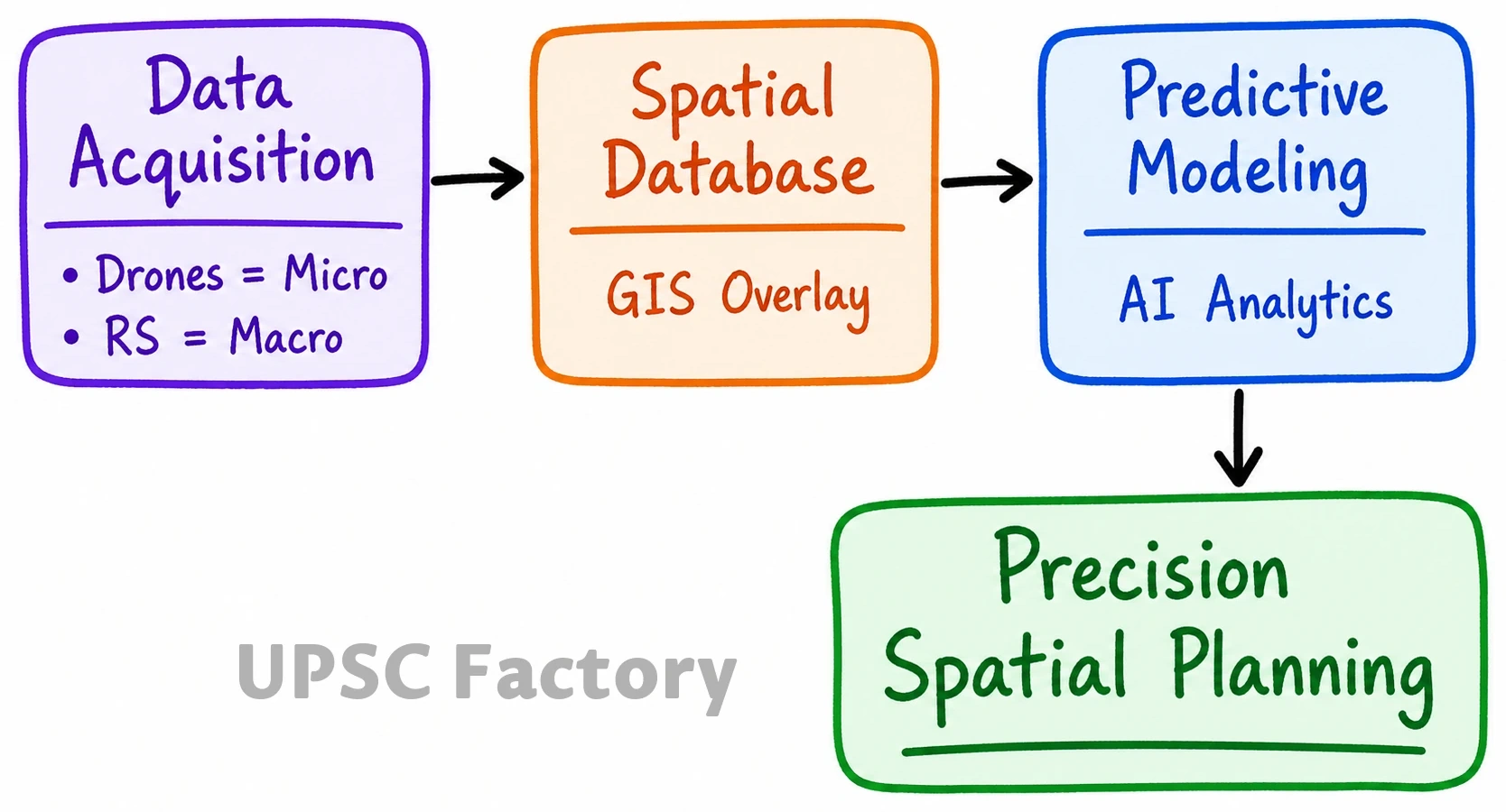
The integration of Artificial Intelligence (AI), Drones, Geographic Information Systems (GIS), and Remote Sensing (RS) creates a robust Spatial Data Infrastructure (SDI) for precision geographical planning.
Mechanisms of Synergy
- Data Acquisition: Drones capture ultra-high-resolution, real-time micro-topographic data, complementing macro-level RS satellite imagery.
- Spatial Integration: GIS acts as the foundational database, systematically overlaying multi-layered drone and RS datasets.
- Predictive Modeling: AI algorithms (Machine Learning) process massive GIS datasets to identify spatial patterns and simulate future geographical scenarios.
Applications in Locational Planning (Site-Specific)
- Infrastructure Siting: AI optimizes route alignments for highways by analyzing terrain, slope, and land-use constraints via GIS (PM Gati Shakti).
- Disaster Logistics: Drones assess real-time micro-level inundation; AI models optimal rescue routes and emergency shelter sites.
- Property Titling: High-resolution drone mapping establishes precise rural property boundaries, resolving spatial land disputes (SVAMITVA Scheme).
- Urban Utility Mapping: Drone photogrammetry maps micro-utilities (pipelines, transformers) for precise maintenance and localized expansion.
Applications in Areal Planning (Regional)
- Agricultural Zonation: AI analyzes RS/Drone multispectral imagery to classify crop health and recommend optimal regional cropping patterns.
- Urban Sprawl Monitoring: AI-driven change detection on temporal RS datasets quantifies peri-urban expansion, guiding regional master planning.
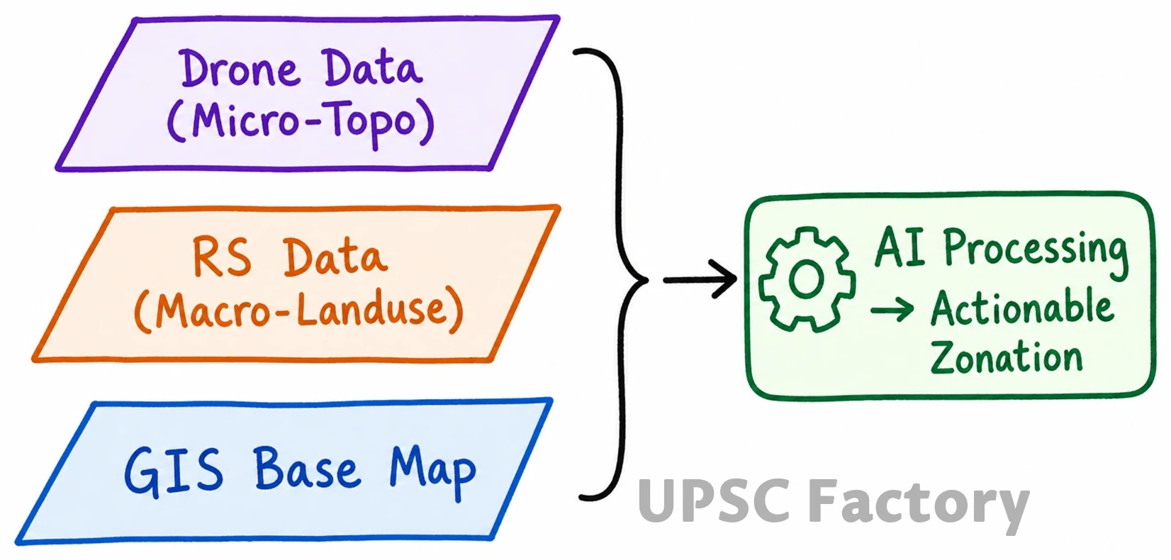
- Watershed Management: Drone-generated Digital Elevation Models (DEMs) simulate water flow, while AI determines optimal macro-catchment area delineations.
- Ecological Conservation: RS-GIS mapping combined with AI anomaly detection tracks regional deforestation hotspots and habitat fragmentation accurately.
Leveraging this technological quad-core aligns with the National Geospatial Policy 2022, ensuring evidence-based, sustainable, and inclusive spatial planning for a rapidly urbanizing India.